All Posts by SAFAG Admin
SAFAG-Flood resilience in action
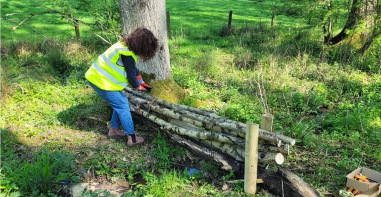
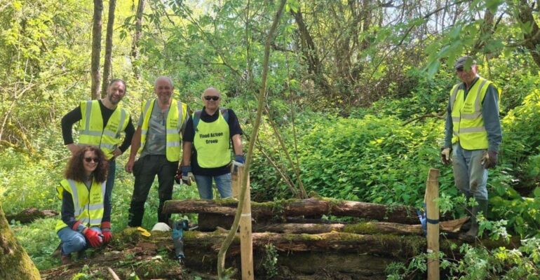
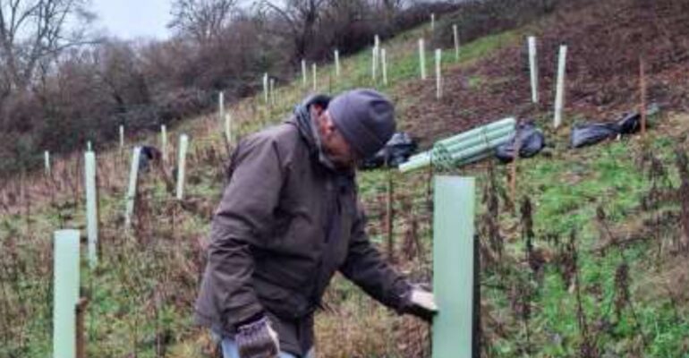
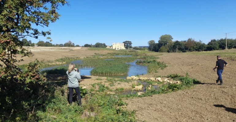
A journey over to the Batsford Estate at Aston Magna on 27th April for the SAFAG team of Mike McCarthy, John Dinnie and volunteers Paul Neal, Richard Harvey, John Fedorowycz and Katharine Rutherford. This was a follow up to a previous visit in March which located and assessed the operational effectiveness

SAFAG Report to Shipston Town Council January 2026
The next 3 months will see an increased level of intervention assessments/visits/repair workdays, with the priority areas being identified and reviewed at the regular team meetings. The map below shows the Stour catchment area covered by SAFAG-identified by the red boundary. It covers 187 square kilometres-encompassing parts of Warwickshire, Oxfordshire
SAFAG Report to Shipston Town Council December 2025
Severn Rivers Trust (SRT) have successfully secured CIL funding of £60K from SDC to cover various pipeline (spade ready) projects, under the project title of ‘Shipston on Stour Natural Flood Management Advanced’. With one exception, all of these have been referred to in previous reports to STC. More specifically these
SAFAG Report to Shipston Town Council November 2025
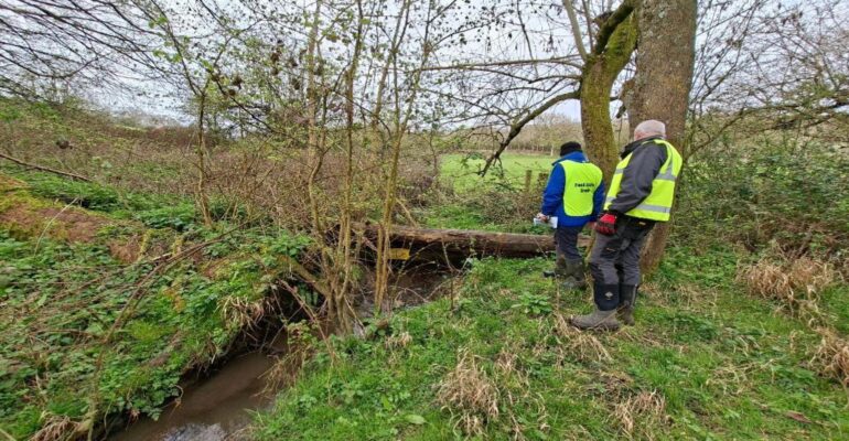
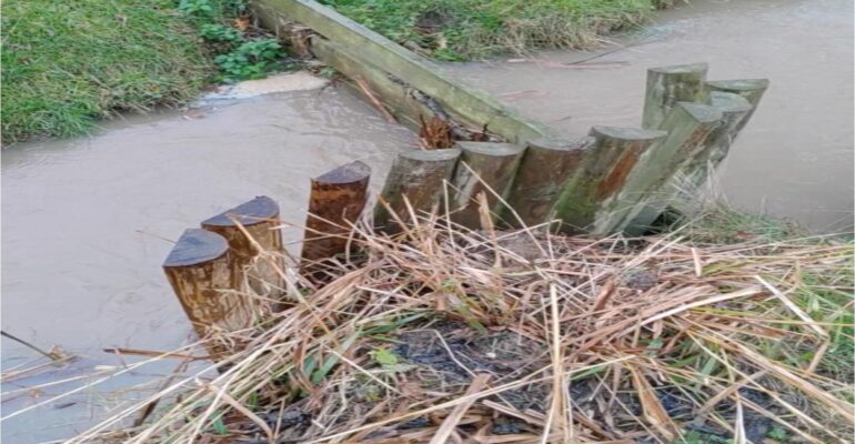
Upon request, the EA (Environment Agency) can provide water flow maps for any part of the Stour catchment area. These show the predicted flow routes/pathways, with risk based on slope and land use. They are used by the EA and partners to identify locations to deliver flood mitigation measures such
SAFAG Report to Shipston Town Council October 2025
John Dinnie attended the recent Warwickshire Avon Catchment Partnership Meeting in Coventry organised by SRT (Severn Rivers Trust). Much of it was devoted to actions being taken to protect and enhance wildlife habitat and the health of the various rivers and tributaries which make up the Severn catchment (includes the