2026

SAFAG Report to Shipston Town Council January 2026
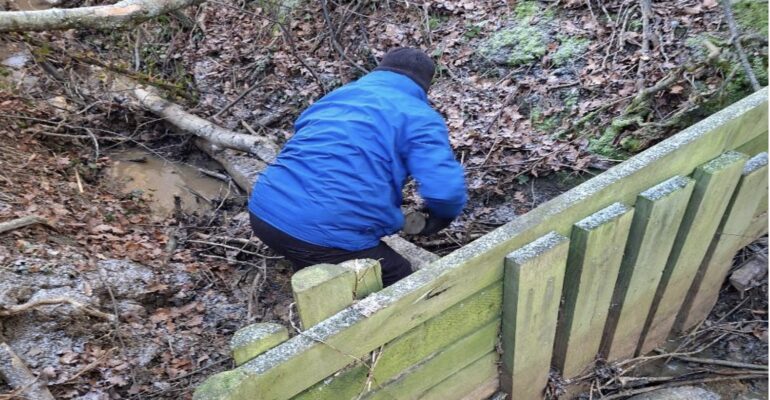
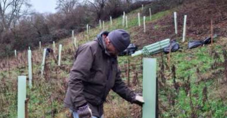
The next 3 months will see an increased level of intervention assessments/visits/repair workdays, with the priority areas being identified and reviewed at the regular team meetings. The map below shows the Stour catchment area covered by SAFAG-identified by the red boundary. It covers 187 square kilometres-encompassing parts of Warwickshire, Oxfordshire