
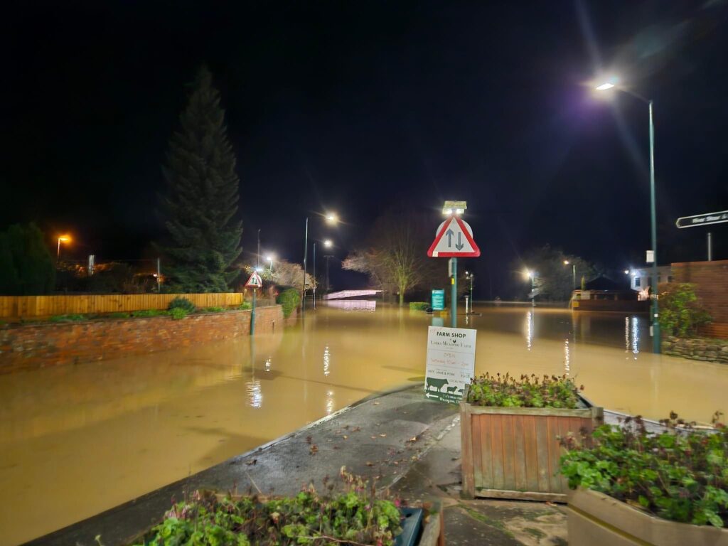
Shot taken 21:53 Sunday November 24th.
Following a few weeks of intermittent rain and then a covering of snow, on top of already heavily soaked land, it took only 40mm of rain recorded at the Shipston rain gauge (47mm in Cherington) to send the Stour through Shipston to a peak of 3.67m overnight, flooding both car parks on either side of the Brailes Road but with otherwise no reported flooding of homes.
Members of SAFAG and Shipston Town Council were constantly monitoring the expected flood via EA alerts and on the ground observations over the weekend owing to Storm Bert which was bringing multiple waves of light to medium rain over the catchment. The EA initially put out an alert at 6am:
Gauge now 2.9
18mm rain in last 24hr
5mm in last 6
More rain expected today
Some heavy
Duty officer predicts Warning at around 2pm and peak of 3.33m at 6:30pm
At 07:54 am this was the view at Shipston Bridge:
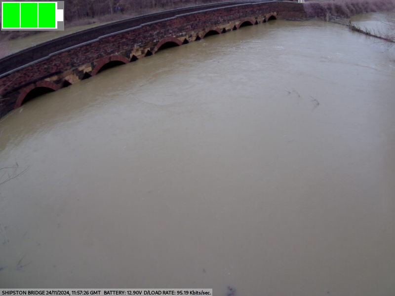
By 12:45pm the Stour had reached over 3 meters and a flow rate of 40 tons per second through the bridge, as members of the flood alert group reported back:
3.01m at 11:30. Makes it a 3m event. Reached the top of the Mill car park.
Rain 17.6mm in 24hrs noon to noon. 2.8mm in the last 6hrs.
More rain to come later today. Some heavy further south in the catchment.
About an hour later, the Stour burst the banks and into the Mill carpark (14:09):
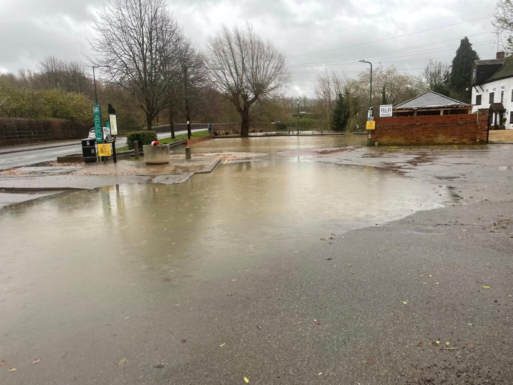
SAFAG members also reported back flow rates and flood incidents upstream in the West and East areas of the catchment which allowed the team to reappraise their predictions of a peak of 3.2m. Continuous rain meant a constantly revising peak time and height estimate as the water drained off of the hills and into the Stour.
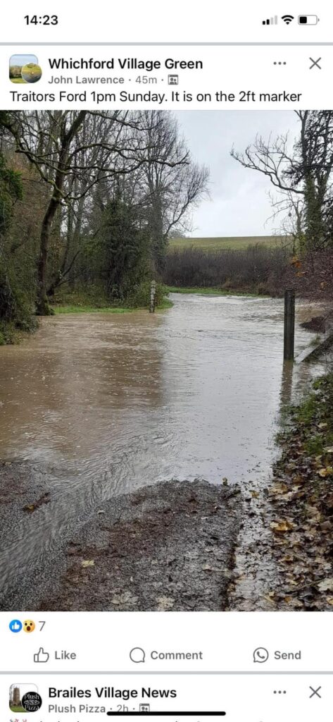
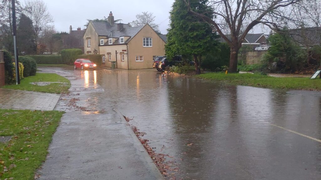
All this run off made a huge difference so that at 15:45 the Stour was recorded at 2.97m and at 16:27 the EA put out a Flood Warning:
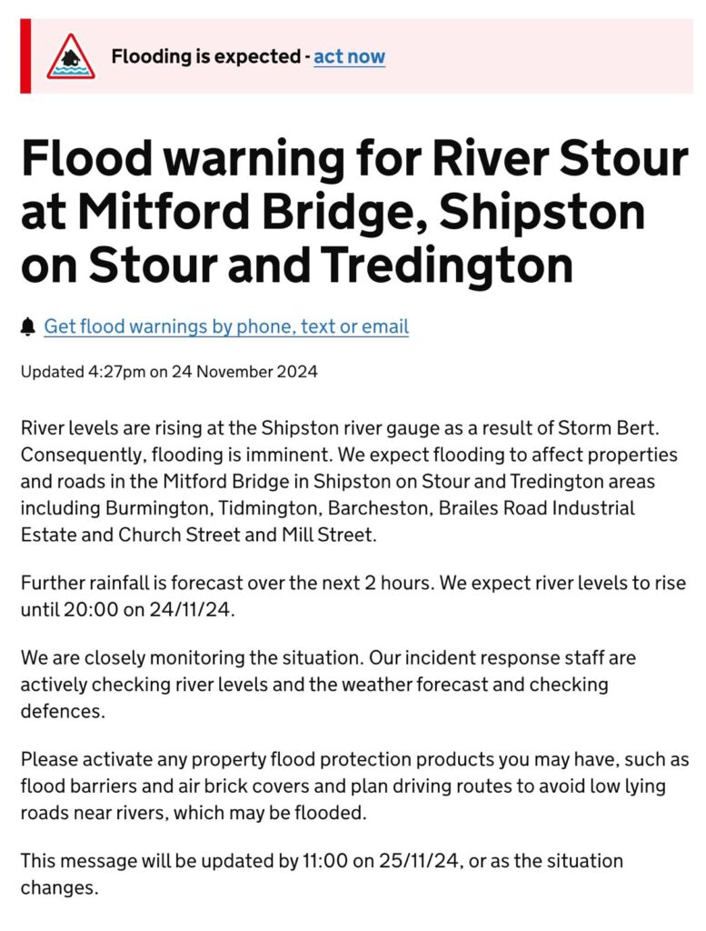
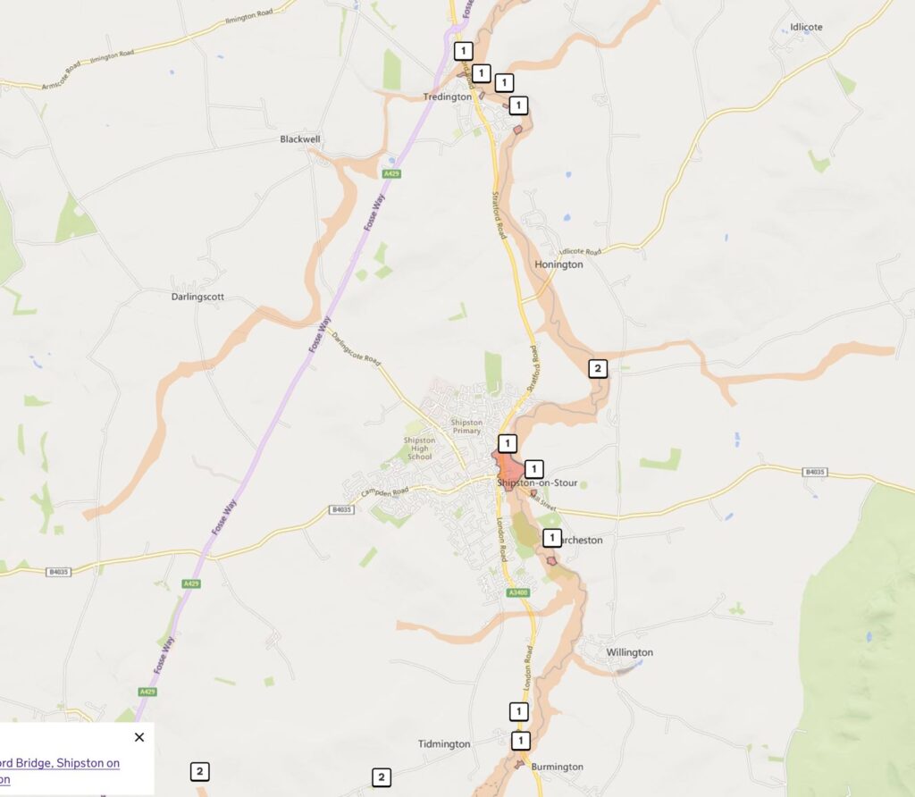
By 20:00 the SAFAG / STC team had noticed the rate of rise in the Stour taking it well past the previous 3.3m forecasted peak.
Rainfall 24mm in 24hrs to 6:45pm. 11.2 mm in the last 6 hrs so even heavier. River level 3.13m and rising. It has risen 7cm in the last 30 minutes.
By 20:30 the river height had reached 3.45m and was still climbing and at around 21:00 the team accurately predicted a peak of 3.66m by 22:00.
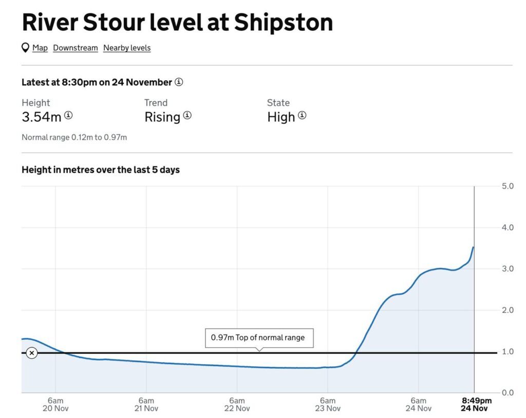
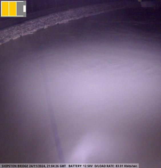
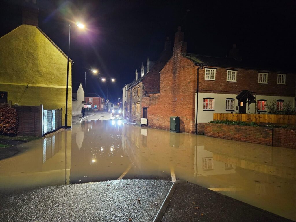
SAFAG and the STC team were also alert to and raising issues concerned with traffic management around the flooded areas, with reports coming in that vehicles were going too fast, causing waves. The police were contacted at 10:36 and advised they would request a road closure from County Highways but it appears either the request was not put in or Highways did not respond. This highlights the vulnerability of the town and areas at risk if a major flooding event is widespread across the county, region, or country. The bigger the flood, the less help from emergency and government services can be expected owing to their triage of areas according to size of population, infrastructure, affected.
New technologies now allow SAFAG/STC and members of the public to access more information about flooding than ever. But not all new technologies are utilised equally, and no-one who has been a stakeholder in protecting Shipston catchment from flooding can infinitely continue to be. SAFAG strongly welcomes moves by members of Shipston Town Council to put into place a SOP for flood events that enables the catchment to be prepared, ready to be mobilised, and well co-ordinated.
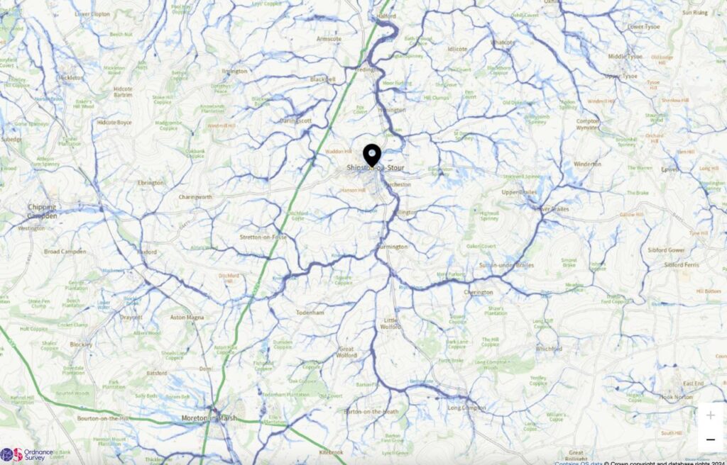
As a reminder to residents, below is an image of the Stour catchment area. It might not be raining heavily in Shipston or downstream but if it is raining heavily upstream in three hours that rain will come through Shipston. SAFAG has put in place almost the maximum number of natural flood management actions like dams, tree copices, and bunds, and the EA continues to work with local landowners to improve water retention but with 1° in warming representing 7% more moisture in air, we might consider how much more water this catchment will collect in the future and what more can be done to slow the flow.

Comments are closed.